Text and Photos by Henrylito D. Tacio
Perhaps you – like most Filipinos – are wondering how meteorologists – those experts who conduct the scientific study of atmospheric conditions to forecast the weather – come up with weather predictions?
“Oftentimes, we make the mistake of interchanging climate and weather, but they are actually two different things,” corrects Dr. Jorge G. de las Alas, of the University of the Philippines at Diliman. “Climate is the statistical average of observed weather in a particular area of interest over a relatively long period of time.
“Climate is not static,” said Dr. de las Alas, the first faculty member of the Department of Meteorology and Oceanography of the College of Science. “It is ever changing like weather but its rate of change is small and generally imperceptible in periods comparable to man’s lifetime.”
Or, as American author and humorist Mark Twain puts it: “Climate is what we expect, weather is what we get.”
Here in the Philippines, four types of climates exist. The Department of Agriculture gives this information as a guide to farmers when to plant and what kind of crops could be planted in their respective areas:
· Type 1. This pertains to areas with two pronounced seasons: dry from December to May and wet from June to November. The maximum rain period is from June to September. Areas characterized by this climate type are Ilocos Norte and Sur, Abra, La Union, Benguet, Nueva Ecija, Pangasinan, Tarlac, Zambales, Pampanga, Bulacan and Bataan. Manila, Cavite, Batangas, Mindoro Occidental, Iloilo and the western section of Palawan also have this type. So do parts of Mountain Province, Ifugao, Nueva Vizcaya, Antique and Negros Oriental.
· Type 2. These are areas with no dry season with a very pronounced maximum rainfall period from November to January. Places with this type are Northern and Eastern Samar, Southern Leyte, Surigao del Sur and del Norte, Agusan del Sur, and parts of Kalinga-Apayao, Quezon, Camarines Sur and Norte, Albay, Catanduanes, Sorsogon, Agusan del Sur and Davao Oriental.
· Type 3. Seasons in areas with this type are not very pronounced. It is relatively dry from November to April, and wet during the rest of the year. These places include Isabela, Quirino, Rizal, Laguna, Marinduque, Oriental Mindoro, Romblon, Masbate, Aklan, Capiz, Negros Occidental, Cebu, Zamboanga del Norte, Basilan, Lanao, Bukidnon, Maguindanao, North Cotabato and the eastern section of Palawan.
· Type 4. Rainfall is more or less evenly distributed throughout the year. Places with this type are Camarines Sur, Leyte, Bohol, Misamis Oriental, the five provinces of Davao, South Cotabato, Sultan Kudarat, Zamboanga del Sur, Misamis Occidental, Sulu, and Tawi-Tawi.

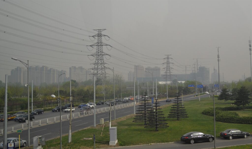
Cloudy weather 
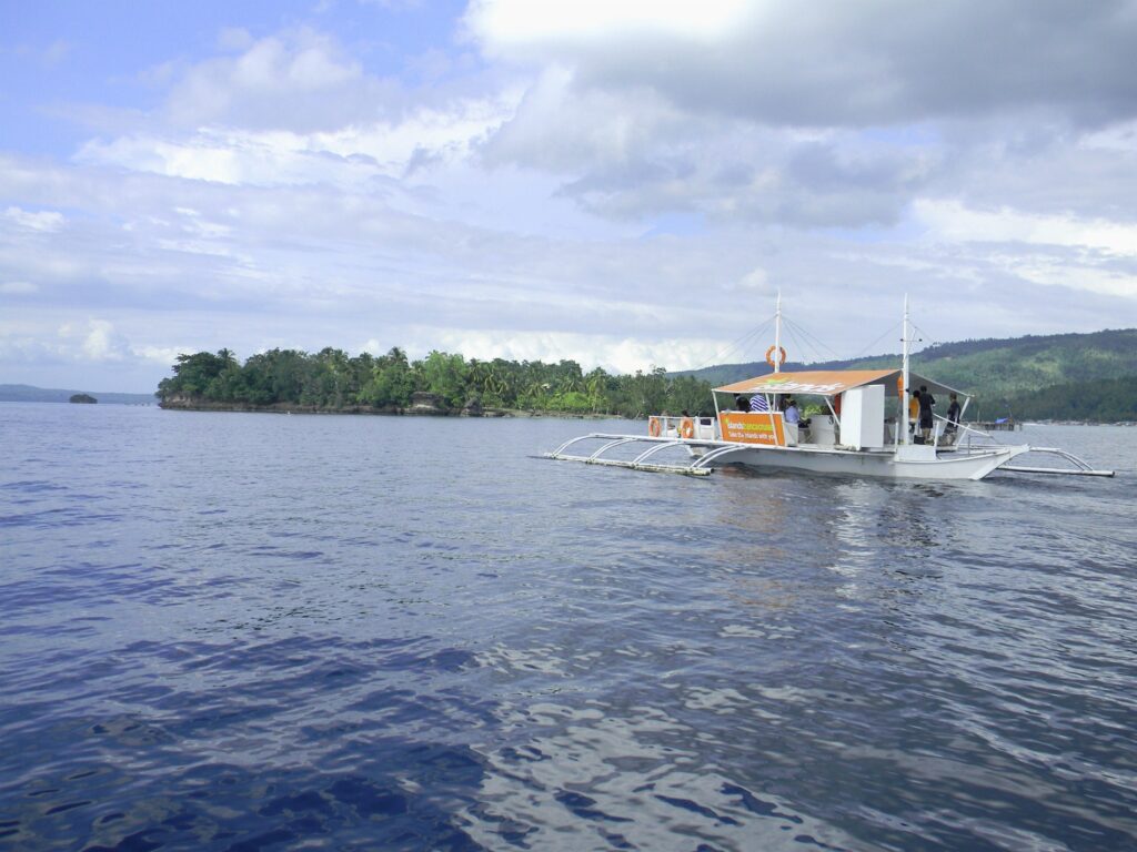
Calm weather 
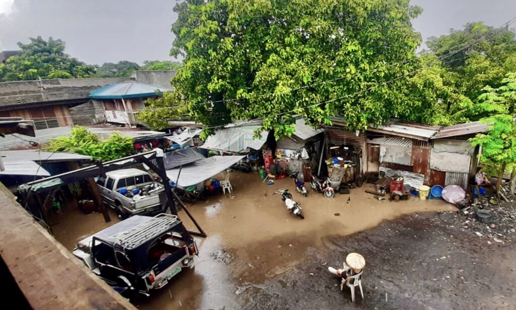
Flood
While the climate in a particular place has been firmly established, the weather – the state of the atmosphere – is a lot more unpredictable because it has to do with the day-to-day changes in atmospheric conditions.
“Weather is driven by air pressure, temperature and moisture differences between one place and another,” Wikipedia explains. “These differences can occur due to the sun’s angle at any particular spot, which varies with latitude.”
Because the earth’s axis is tilted relative to its orbital plane, sunlight is incident at different angles at different times of the year. “On earth’s surface,” Wikipedia states, “temperatures usually range from -40°F to 100°F annually.”
In the Philippines, the only safe thing to say about the weather is that the rainy season starts sometime in May or June and ends around November. This is why the Philippine Atmospheric, Geophysical, and Astronomical Services (PAGASA) was established and tasked to study data and make appropriate weather forecasts and warnings, especially with regard to approaching typhoons.
To do this, the state-run weather bureau, which is under the Department of Science and Technology (DOST), follows a five-step weather forecasting process:
Step 1: Observation. The weather bureau observes, through instruments and through ocular means, all the weather elements on a daily basis. “This gives us a picture of what’s happening up there,” maintained the weather services chief of PAGASA’s Natural Disaster Reduction Branch.
Step 2: Collection and transmission of data. Data on weather observations from around 60 synoptic weather stations scattered throughout the country are then condensed into coded figures and symbols for easy transmissions to the Manila head office. “We exchange raw data with other countries,” the weather services chief says. “As a member of the World Meteorological Organization, we have an international agreement to do that. These data come in the form of coded messages.”
Step 3: Plotting of weather data. When the coded data arrives, they are decoded and plotted on maps in symbols or numbers. Observations made over land and sea are plotted into surface maps, while wind observations are plotted into upper air maps. The weather bureau uses an automatic plotting machine for this purpose.
Step 4: Analysis of weather maps. The plotted maps are given to forecasters or analysts, who make the analysis or prognosis based on what’s on the maps. The current weather maps are compared with the weather maps of previous days to establish the movement of weather systems and forecast their development and movement. Then the analysts make their prognosis.
Step 5: Formulation of the forecast. The prognosis is put down into writing, and this is now the forecast. PAGASA makes public weather forecasts, forecasts for aviation, as well as marine forecasts for coastal areas daily.
The Philippines, given the location and the topography of the country, experiences five weather-causing phenomena: thunderstorms, cold front, monsoons, intertropical convergence zone, and tropical cyclones.
Thunderstorms are sometimes called cumulonimbus or local storms. This occurs when towering cumulus clouds reach a height where the temperature is well below the freezing point. Among the associated hazards of thunderstorms are heavy rain (which may cause flash floods), hail or hailstone (which may destroy crops and some light structures), and lightning (which may cause death, burns, or fire).
Cold front is formed when cold air moves over areas of warm air. Since cold air is heavier than warm air, the warm air is pushed aloft by the cold air giving rise to widespread cloudiness. The cold front affects the eastern part of the country from November to late April or early May.
There are two types of monsoons: Southwest and Northeast. In the former, the Asiatic continent becomes warmer than the surrounding seas, and a low-pressure cell develops over the continent. This causes a flow of moist southwest winds over the Philippine area. At times when this southwest flow becomes thick in depth, it persists for a long period causing continuous rains, which may last for weeks during the months of June to September. The Southwest monsoon is responsible for the great portion of rainfall during the country’s wet season.
In the Northeast monsoon, the Asiatic continent is snowbound, and the high-pressure cell over China sends northeasterly winds over the Philippines, giving the country cold temperatures and causing much rainfall over the eastern coasts. This happens from November to February.
The intertropical convergence zone is an area where the northern hemisphere trades meet the southern hemisphere trades. It is characterized by towering clouds of cumulonimbus accompanied with showers of widespread thunderstorms.
“The axis of convergence, which is usually oriented in an east to west direction, does not remain stationary at the equator but migrates north or south of the equator,” PAGASA explains. In the Philippines, it oscillates during the months of May to October.
Tropical cyclones are low-pressure systems characterized by relatively low atmospheric pressure at the center with very strong winds blowing counterclockwise (in the northern hemisphere) towards and around the center. In the Filipino dialect, tropical cyclones are called bagyo in general.
“About 95 percent of the tropical cyclones affecting the Philippines originate in the Pacific Ocean while the rest come from the South China Sea,” says the weather bureau.
The Philippines has the highest occurrences of tropical cyclones around the world. “We are known to have the most number of cyclones: 19-21 cyclones a year,” said Anthony Joseph R. Lucero, PAGASA weather services chief of Mindanao.
In the past, there were only four public storm warning signals (PSWS). The weather bureau added a fifth: Super Typhoon (STY). “Typhoons as strong as Super Typhoons with more than 220 kilometers per hour (kph) of sustained winds in the country are becoming more frequent,” PAGASA Administrator Vicente Malano was quoted as saying.
The complete PSWS of tropical cyclones are Tropical Depression (TD) with 30-60 kph winds; Tropical Storm (TS) with 61-120 kph winds; Severe Tropical Storm (STS) with 121-170 kph winds; Typhoon (TY) with 171-220 kph winds; and Super Typhoon (STY) with more than 220 kph winds.
“Most Super Typhoons don’t landfall,” Lucero said. “They just enter the Philippine Area of Responsibility and then exit without even touching the land.”
But when a Super Typhoon does, just like Sendong in 2011, Pablo in 2012, Yolanda in 2013, and Odette this year, the devastation is incomprehensible.
Among the dangers associated with typhoons are heavy rainfalls and floods, strong winds, storm surge, landslides, and mudflows. “Landslides can bury people alive and destroy properties,” the weather bureau reminds. “Mudflows, on the other hand, are hazardous to people and properties, too.”
But there is one good thing about tropical cyclones. The weather bureau says that the rainfall brought about by tropical cyclones increases the groundwater and water levels of dams. In fact, about 50% of the rainfall of the country comes from tropical cyclones.

