Text and Photos by Henrylito D. Tacio
On January 18, 1979, Mindanao Times, the island’s oldest newspaper, carried this headline: “Bridge to link city and Samal.”
“A bridge to link Davao City and Samal Island was proposed by Davao del Norte Assemblyman Rodolfo del Rosario this week,” the news lead stated.
Finally, last October 27 – after 43 years and 7 presidents – the Samal Island-Davao City (SIDC) bridge was finally launched. The ground-breaking ceremony was attended by no less than President Ferdinand Marcos, Jr. and Vice-President Sara Duterte.
The two-way, four-lane bridge has a width of 24 meters and a vertical navigational clearance of up to 47 meters. Two pylons 73 meters tall will support the 3.98-kilometer bridge.
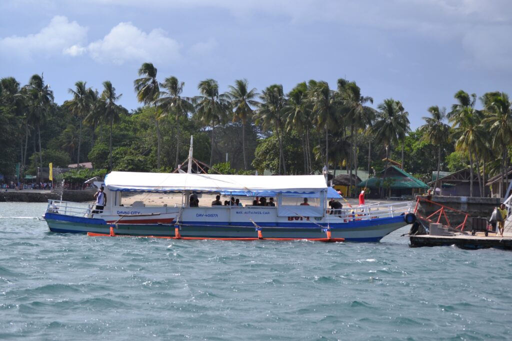
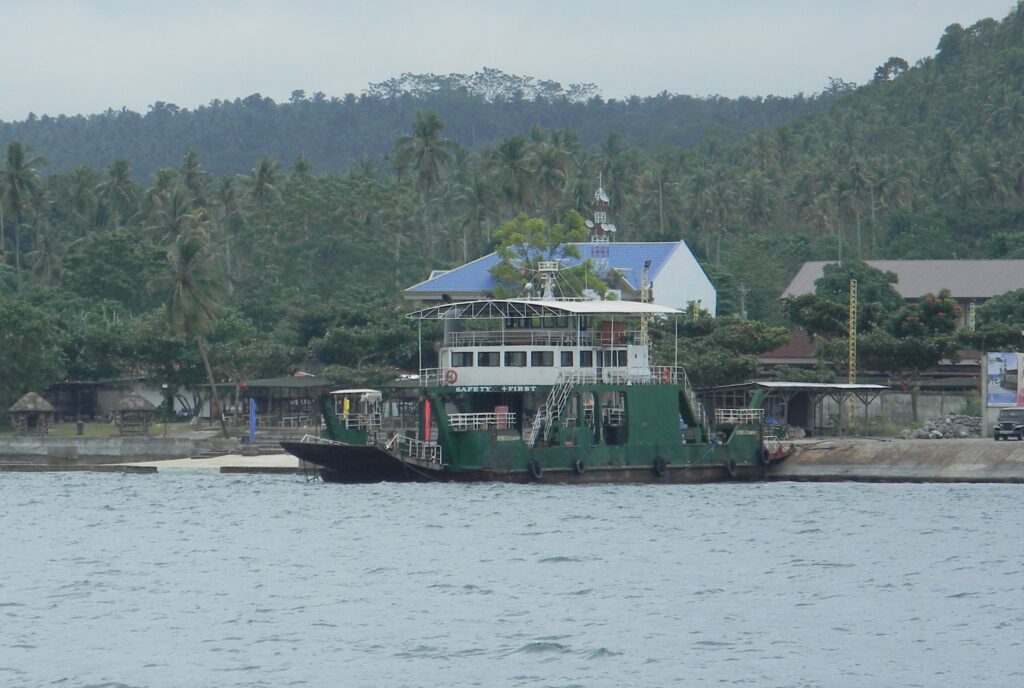
Currently, the travel time from Davao City to Samal City is about 23 to 30 minutes via roll-on/roll-off ferry. But once the “Dream Bridge” becomes operational by 2027, the trip will be cut to 5 minutes.
While most people are euphoric about this recent development, there are those who think the bridge should be realigned as it will be built over Pakiputan Strait, particularly along Samal’s Paradise Island to Costa Marine stretch.
To set the record straight, divers from the regional office of the Department of Environment and Natural Resources (DENR) conducted a diving activity and underwater video documentation of marine environments over the affected areas last October 12.


Fidel A. Evasco, DENR’s regional executive director and Fred Medina, commissioner of the Philippine Commission for Sports Scuba Diving, headed the diving expedition. Also present were representatives from Carabao Dive Center, Paradise Island Beach Resort (PIBR), and the Batacan, Montejo and Vicencio Law Firm.
Marine biologist Dr. John Michael Lacson of PIBR led the diving team who covered approximately 690 meter-stretch of Pier 1 (jetty port of PIBR), Stations 1, 2 and 3 down to the southern area of Costa Marina Beach Resort.
The “vital pursuit” was also witnessed by representatives from Ecoteneo, an environmental group based in Ateneo de Davao University, and the local government units of Samal City.
Below are the findings of the expedition, as reported by the regional office in the DENR’s official website:
* Hard corals and other massive corals were observed in Pier 1 to Station 1 from 5 to 25 feet. Also observed were giant clam species and large numbers of damselfishes, cardinalfish, porcupinefish and wrasse.
* An increase of large soft corals, including species of Sarcophyton, Lobophytum and Sinularia, can be observed between Station 1 to Station 2. “These soft corals were seen attached to dead hard corals,” the report stated.
* Hard coral colonies – massive helmet corals, eye corals, branching cabbage corals and the blue coral – were scattered thinly in the area. “Large mounds of dead corals were also recorded within the 15-20 feet depth of Station 1 and 2 and the sediment in this area is sandy-coral rubble substrate,” said the report.
* Station 3 – which is in front of Costa Marina Beach Resort – was observed to be dominated with soft corals lying on top of dead corals in a substantially-wide rubble area.
* At points 88 and 89 – where the proposed column for the bridge will be constructed – a flat terrain of rubble substrate was observed. “Even with a strong underwater current, the team was able to document thin patches of hard corals and soft corals with presence of rubble substrate and algae within the 30-35 feet,” the report said.
* When the team scanned the northeast side of point 88 at the depth of 15-20 feet, they observed patches of live corals, soft corals, coral rubble substrate, sand, silt and algae in the area. Big dead corals that were covered with algae were observed and the presence of fishes mostly pata.
* At the surface of point 89, the bottom – around 5-8 feet – was observed to be a mixture of rubbles and algae. The team also found a seagrass community, live corals, soft corals, fishes and dead corals covered with algae.
* At point 89, at the depth of 3 feet, presence of seagrass community, patches of live hard corals, patches of soft corals and mix of sand and rubble substrate were observed.
“Judging from the underwater topography, dense soft corals, strong underwater current and high nutrient load due to the presence of drifting mucus-like particles allegedly algae colonies, it appears that the stretch from Station 1 up to Costa Marina is exposed usually to strong underwater currents,” the team reported.
From Station 1 to Costa Marina jetty, large mounds of dead massive forming Porites species were observed. At one time, the place was also filled with hard coral species like Goniastrea spp., Euphyllia spp., and Plerogyra spp., among others.
“These massive corals can withstand underwater current due to their massive and thick coral skeleton and dome-shape morphology,” the team said. “However, human interventions which caused impeding water flow and disrupting longshore sediment transport and longshore current coupled with extraction of coralline rocks used for the establishment of concrete structures and the effects of eutrophication, may somehow change the underwater community structure from hard coral formed reefs to the existing soft corals ecosystem.”
The Philippines has 22,500 square kilometers of coral reef area, which represents 9 percent of the global total, making it the country with the third-largest reef area in the world (after Australia and Indonesia), according to Reefs at Risk Revisited in the Coral Triangle.
“All major reef types are present in the Philippines; most are fringing reefs along the coastlines, as well as some areas of barrier, atoll, and patch reefs,” says the Washington-based World Resources Institute. In addition, the country is home to 464 species of hard corals.
Coral reefs are considered underwater forests because of their complex ecosystem that supports a huge amount of wildlife. They serve as shelter to fishes and other marine creatures like mollusks, crustaceans, sea urchins, starfish, sponges, and tube-worms, to name a few.
Studies show a single reef can support as many as 3,000 species of marine life. As fishing grounds, they are thought to be 10 to 100 times as productive per unit area as the open sea, said Dr. Angel C. Alcala, former DENR chief.
In the Philippines, the reefs reportedly yield 5 to 37 tons of fish per square kilometer, thus making them very important to the productivity of fisheries.

