

Text and Photos by Henrylito D. Tacio
Every third week of June, the Philippine Atmospheric, Geophysical, and Astronomical Services Administration (PAGASA) observes the Typhoon and Flood Awareness Week. This is to emphasize “on the importance of early warning systems and early action in strengthening disaster action and preparedness to ensure the safety of communities during calamities.”
“Mahalaga na prepared tayo at alam natin kung ano yung magiging action kapag inilabas na ng PAGASA yung mga early warning systems,” said Dr. Esperanza O. Cayanan, PAGASA’s Deputy Administrator for Research and Development. (“It is important to be prepared and we know what actions we will do once PAGASA releases the early warning systems.”)
This year’s theme is “From Forecast to Action Towards a Typhoon and Flood Resilient Community.” It supports the weather bureau’s mandate to provide advanced information against hydrometeorological hazards and utilizing scientific knowledge as tools to ensure the safety, protection, well-being, and resiliency of the people and the whole nation.
Aside from PAGASA, another agency that releases warning messages during calamities is the Philippine Institute of Volcanology and Seismology (PHIVOLCS). Both are frontline agencies of the Department of Science and Technology (DOST).
To further help communities better understand the early warning messages on typhoons and floods being released by the frontline agencies, Project #MAGHANDA was launched last March 16 in partnership with DOST-Science and Technology Information Institute (DOST-STII), Department of the Interior and Local Government, and the Local Government Academy.
The Project #MAGHANDA levels up awareness and capabilities of the disaster risk reduction managers at the local level in understanding warning messages. In addition, it enables them to translate that information into better response action among its stakeholders, particularly those from vulnerable communities.
Project #MAGHANDA (which stands for Meteorological And Geological Hazard Advisories, Warning and Notifications for Decisive Action) will be implemented in all 17 regions across the country, including the Bangsamoro Autonomous Region in Muslim Mindanao (BARMM).
“With improvements of monitoring tools and services from both agencies and the impact of climate change, there is a need to upgrade the understanding and knowledge of our local government partners and media as well as first responders,” said Dr. Vicente B. Malano, PAGASA Administrator.
Malano also noted that because there is the possibility that the information was not understood by the people, this initiative will address the need to re-educate the LGUs, specifically local officials, disaster managers, and the media, on the latest hazard information systems.
Records show an average of 20 out of 36 tropical cyclones enter the country’s area of responsibility. “There is no month in the Philippines which is free from typhoons,” PAGASA says.
The US National Oceanic and Atmospheric Administration defines typhoons as “a type of large storm system having a circular or spiral system of violent winds, typically hundreds of kilometers in diameter.”
When storms occur in the Western Pacific, they are called typhoons. But when these storms happen in the Atlantic Ocean and Eastern Pacific, it is called a hurricane. In the Indian Ocean, they are known as tropical cyclones. In other words, all three are the same weather phenomenon.
Among Filipinos, they’re known simply as bagyo, a term that came into existence after a 1911 storm in Baguio which had a record rainfall of 46 inches within a 24-hour period.
“About 95 percent of the tropical cyclones affecting the Philippines originate in the Pacific Ocean while the rest come from the South China Sea,” PAGASA says.
According to PAGASA, typhoons usually occur from the month of June to November. Most, however, occur in the months of July and August “though other months outside of this period are not entirely free from tropical cyclones.”
During the early part of the typhoon season, PAGASA claims, tropical cyclones pass the northern regions of the country. In the latter part (from October to December), the central and southern parts are more prone to the passage.
The weather bureau considers tropical cyclones as “the most commonly occurring natural hazard in the country.”
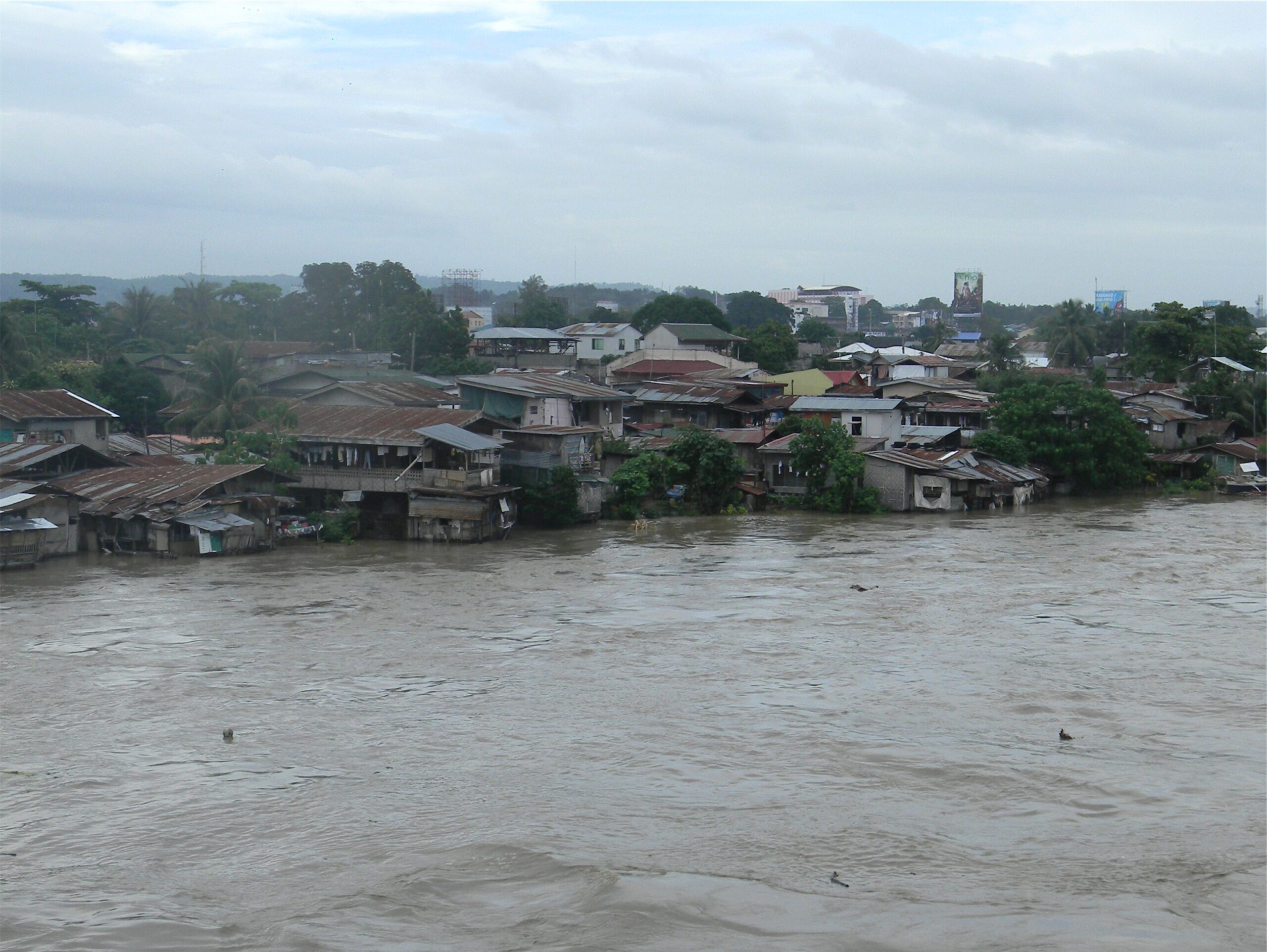
A flood, on the other hand, is an overflow of water that submerges land which is normally dry. Given the location and the topography of the country, the Philippines experiences five weather-causing phenomena which can bring floods. These are thunderstorms, cold front, monsoons, intertropical convergence zone (ITCZ), and tropical cyclones.
“Floods are due to the complex combination of weather, climatic and human activities,” explained Rosalie C. Pagulayan, PAGASA weather specialist II during a seminar-workshop convened by the Department of Science and Technology in Davao City recently. “Most floods occur as a result of moderate-to-large-scale rainfall events.”
As floods are common throughout the country, the weather bureau has launched the Flood Early Warning System (FEWS) capacities. It has five basic elements: prediction, detection, communication, decision-making, and mobilization.
“In any disaster of a given magnitude, the first line of defense is still awareness of the communities at risk,” reminded Pagulayan.