Text by Henrylito D. Tacio
Photos from Davao DENR
The Pantaron Mountain Range (PMR) – also known as the Central Cordillera of Mindanao – may soon be added to the list of protected areas in Davao Region. The range straddles across the provinces of Misamis Oriental, Bukidnon, Agusan del Norte, Agusan del Sur, Davao del Norte and Davao del Sur.
“In the province of Davao del Norte, it covers almost 32,000 hectares, whereas the municipality of Talaingod covers the largest land area,” said the regional office of the Department of Environment and Natural Resources (DENR) in its website.
The regional DENR office, through its Community Environment and Natural Resources Office (CENRO) of New Corella, conducted a 4-day Protected Area Suitability Assessment (PASA) recently. This was in line with the establishment of Pantaron Mountain Range (PMR) as a protected area.
According to the DENR, the mountain range “manifests high ecological value and diffuses immense benefits to the community.”
The Mindanao Development Authority identifies PMR as “one of the country’s largest remaining forest blocks.”
The environment department agrees. “PMR serves as the last remaining old growth and residual forest in Davao del Norte,” DENR said. “It is identified as the headwater source of Tagum-Libuganon River, Lasang River, and Davao River in Region XI.”
During the PASA, among those that were assessed were site observation of the biophysical features of the PMR in terms of its geological formation, hydrologic value, vegetative cover, types of ecosystems, and identification of flora and fauna. All of these form part as bases for its protected area establishment.
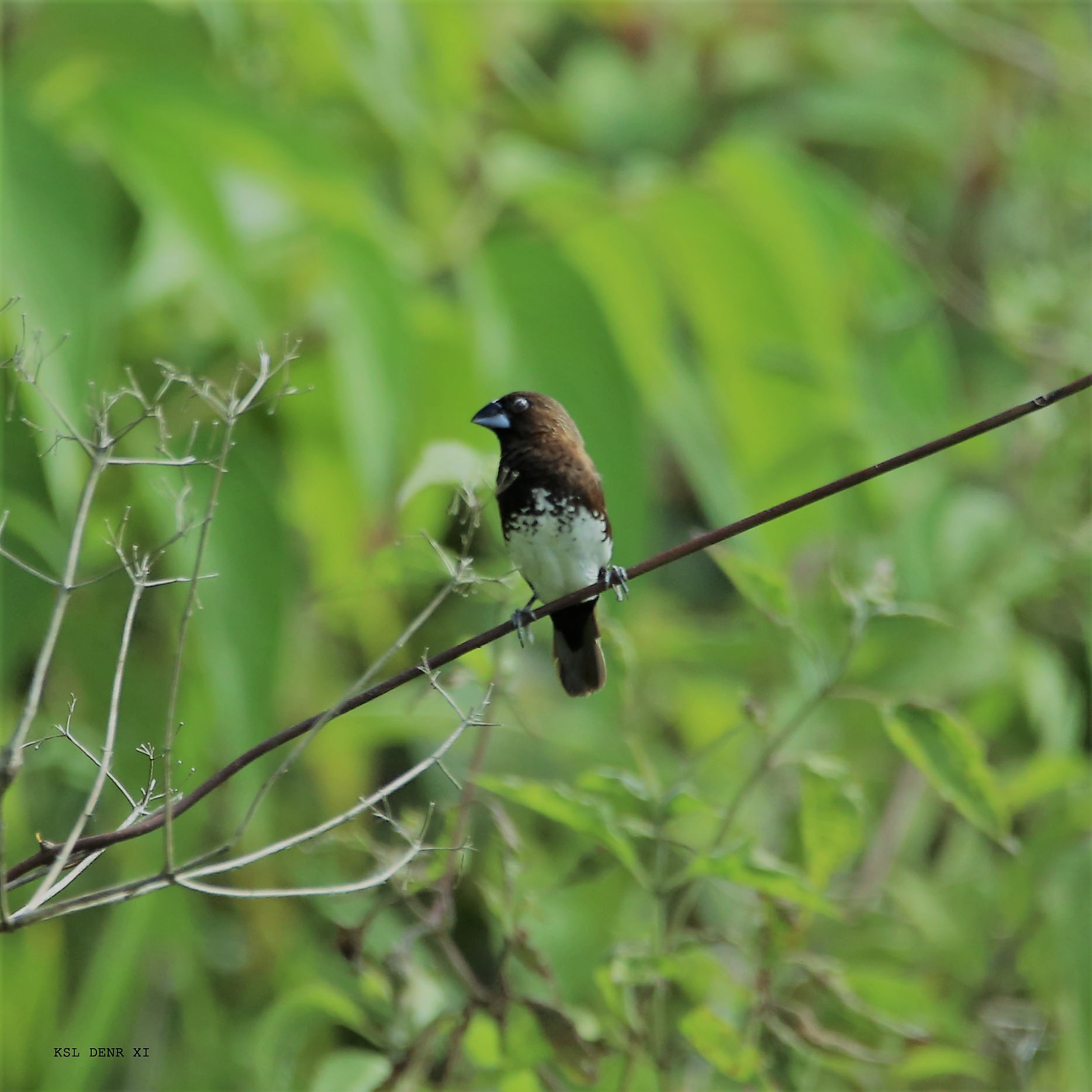
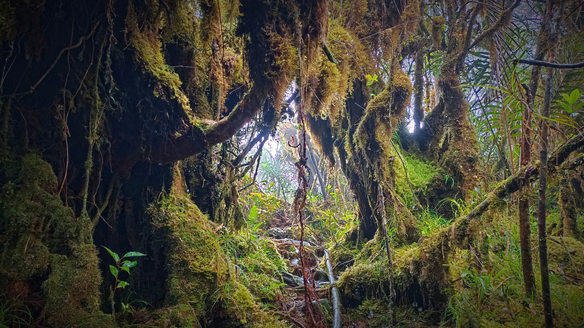
During the conduct of PASA, the participants sighted several dipterocarp species, almaciga, malabayabas, and species of nepenthes, as well as sightings of moss, lichens, several bird species, bats, and insects.
Earlier studies conducted by the Foundation for the Philippine Environment showed the mountain range is home to rare species of flora and fauna, including the endangered Philippine eagle, Philippine brown deer, Philippine flying lemur, and a Mindanao-endemic gymnure.
“The DENR will continue to put conscious efforts to preserve the Pantaron Mountain Range, its natural ecosystems including the wildlife species inhabiting it,” the environment department assured.
The forests of the mountain range, according to a Bulatlat report, “are threatened by mining and logging.”
The DENR said, “With the persistent threats, securing our environment, natural resources and ecosystem services has always been a challenge. Thus, we call for the participation and commitment of our partner agencies, stakeholders, and lowland and upland communities to help carry through the endeavor.”


The protected areas in the Philippines are administered by DENR through its Biodiversity Management Bureau under the National Integrated Protected Areas System (NIPAS) Act of 1992.
In Davao Region, there are currently nine protected areas.
Mount Apo, the country’s highest peak (at 10,311 feet above sea level), is located between Davao City and Davao del Sur in the Davao region and Cotabato in Soccsksargen. With the approval of Republic Act No. 9237 on February 3, 2004, Mount Apo was declared a protected area under the category of Natural Park with an area of 54,974.87 hectares.
Four areas are listed under the category of Protected Landscapes: Aliwagwag, Baganga, Mainit Hot Springs, and Mati.
The Aliwagwag Protected Landscape is part of the country’s National Integrated Protected Areas System and was established in 2011 through Proclamation No. 139 issued by then President Benigno Aquino III. Both Davao del Norte and Davao de Oro claim parts of it.
The Baganga Protected Landscape is located in Davao Oriental. It was established in 1987 as the Baganga Watershed Forest Reserve, with an area of 114 hectares. In 2000, it was declared a protected landscape.
The Mainit Hot Springs Protected Landscape preserves the sulfuric hot springs and surrounding forest in Nabunturan, Davao del Oro, which also contains the headwaters of the Manat River. In 2000, then President Joseph Estrada signed Proclamation No. 320, making it a protected landscape.
The Mati Protected Landscape protects the watershed in Mati City, Davao Oriental, which is the source of water supply for the city’s Mati Waterworks System. It was declared a protected landscape when then President Gloria Macapagal-Arroyo signed Proclamation No. 912 in 2005.
Davao Region has two Protected Landscapes and Seascapes: Mabini and Pujada Bay.
Mabini Protected Landscape and Seascape in Davao de Oro is a terrestrial and marine protected area established in 2000 to protect ecologically significant habitats in the Davao Gulf. The protected area is situated in the coastal barangays of Cuambog, San Antonio, Pindasan, Cadunan and Taganan.
The Pujada Bay Protected Landscape and Seascape, located in Mati City, Davao Oriental, covers 21,200 hectares protecting the bay and its coastal area, including its four islands. It was declared through Proclamation No. 431 on July 31, 1994, by then President Fidel V. Ramos.
Davao City, the country’s largest city in terms of land area, has only one protected area. Malagos in Calinan District was declared a Watershed Forest Reserve in 1993. It covers a total land area of 235 hectares.
Mount Hamiguitan Range, one of the most diverse wildlife populations in the country, is classified as a Wildlife Sanctuary. Among the wildlife found in the area are Philippine eagles and several species of Nepenthes. The range is also noted for its unique pygmy forest of century-old trees. It was declared a wildlife sanctuary in 2003 and was inscribed as a World Heritage Site by the United Nations Educational, Scientific, and Cultural Organization (UNESC) in 2014.

