

Text and Photos by Henrylito D. Tacio
“The Ring of Fire” – that is what scientists call the area in the basin of the Pacific Ocean where a large number of earthquakes and volcanic eruptions occur. Unfortunately, the Philippines – a country with 7,107 islands – is located in this rim, sometimes called the circum-Pacific seismic belt.
About 90% of the world’s earthquakes and 81% of the world’s largest earthquakes occur along the Ring of Fire. In the Philippines, earthquakes occur every now and then.
One of the worst earthquakes to hit the country happened on July 16, 1990. A 7.8-magnitude earthquake struck the densely populated island of Luzon, which killed an estimated 1,621 people, with most of the fatalities coming from Central Luzon and the Cordillera region.
According to scientists, the Ring of Fire has 452 volcanoes and is home to over 75% of the world’s active and dormant volcanoes. The Philippines, for instance, has around 200 volcanoes scattered all over the archipelago. Fortunately, only 21 are considered active.
A volcano is considered active if it has erupted sometime within the last 600 years. If a volcano has not erupted in 600 years, it is regarded as inactive (dormant). There are also volcanoes that are considered extinct.
“Like ghosts and monsters, volcanoes can be scary when they erupt. They rumble, shake and spit out fire, steam, ashes, and rocks. But unlike ghosts and monsters, volcanoes are of this world. As such, they can be studied and understood,” commented the late Raymundo S. Punongbayan when he was still alive and was heading the Phivolcs.
The active volcanoes in the country, according to Philippine Institute of Volcanology and Seismology (Phivolcs), are Pinatubo in Zambales; Mayon in Legazpi City; Taal in Talisay, Batangas; Canlaon in Negros Oriental; Bulusan in Sorsogon; Smith, Didicas, Babuyan Claro and Camiguin de Babuyanes, all in Babuyan Island Group; Cagua in Cagayan; Banahaw in Laguna/Quezon; Iriga in Camarines Sur; Biliran in Biliran; and Iraya in Batanes.
Sea level rise 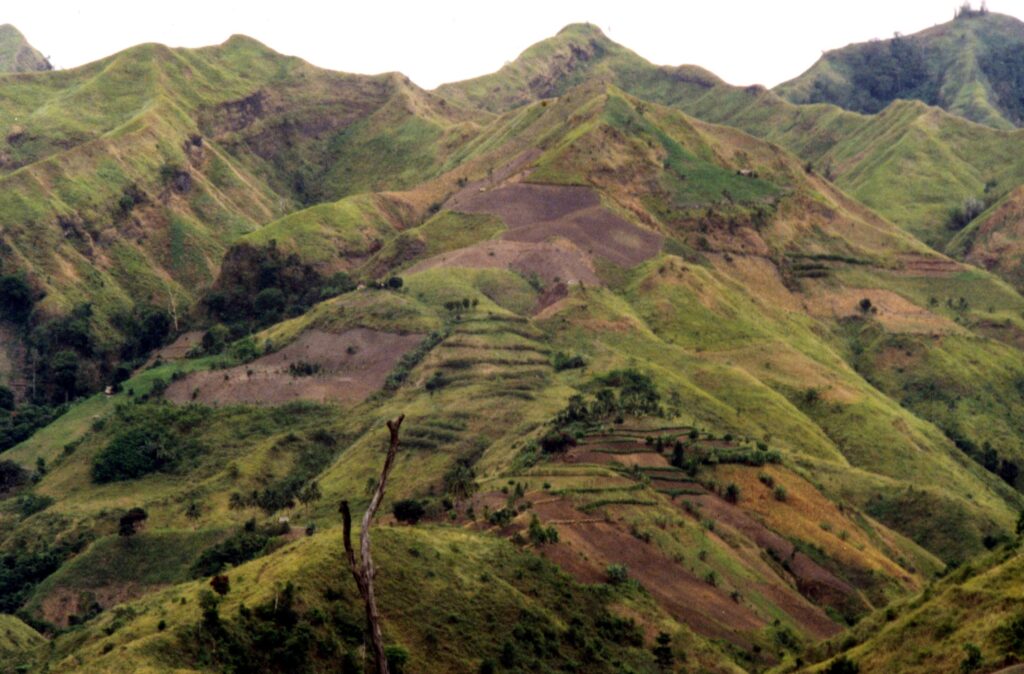
Denuded upland
In Mindanao, the active volcanoes are: Ragang and Matutum, both in Cotabato; Hibok-Hibok in Mambajao, Camiguin; Calayo in Valencia, Bukidnon; Bud Dajo on Jolo Island; Musuan in Bukidnon; and Makaturing in Lanao.
Take the case of Mount Pinatubo; the last time it erupted was about 450 years ago. For a long span of time, people in Zambales province had almost forgotten that the mountain was actually a volcano.
Mount Pinatubo stood at 1,780 meters before it erupted; after the eruption, the volcano was reduced to only 1,400 meters.
The Philippines is home to some of the most beautiful volcanoes. Mount Mayon in Albay is world-famous for its near-perfect cone. However, it has erupted almost 50 times. The most violent and destructive eruption happened in 1814; its ash and mudflows buried villages and towns around it.
Taal Volcano is located inside a lake that is itself a collapsed prehistoric volcano. It is considered “one of the lower (400 meters above sea level) but among the deadliest in the world.” In fact, it is listed as one of the 16 Decade Volcanoes identified by the International Association of Volcanology and Chemistry of the Earth’s Interior.
A typhoon is a mature tropical cyclone that develops in the northwestern part of the Pacific Ocean between 180° and 100°E. Again, the Philippines is located in this region which, according to the US National Hurricane Center, is referred to as the northwest Pacific basin.
Wikipedia, the free encyclopedia, shares this information: “The majority of storms form between June and November whilst tropical cyclone formation is at a minimum between December and May. On average, the northwestern Pacific features the most numerous and intense tropical cyclones globally. The Philippines receive a brunt of the landfalls, with China and Japan being impacted slightly less.”
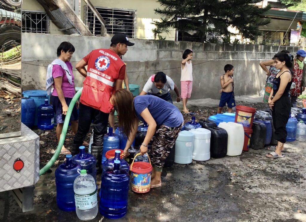
Looming water crisis 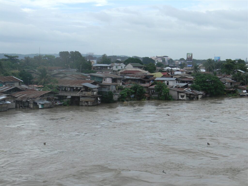
Flood
“Each year, about 20 tropical cyclones enter our country,” says Rene Paciente, chief of the weather forecasting and warming system of the Philippine Atmospheric, Geophysical, and Astronomical Services Administration (Pagasa). Fortunately, only 6 to 9 of these tropical cyclones make landfall.
The International Disaster Database, maintained by the Center for Research on the Epidemiology of Disasters, reported the country lost US$8.809 billion, roughly P378 billion in damages due to natural disasters from 1900 to 2013.
These natural disasters are bound to happen again and again – and may become worse each year due to global climate change. In fact, it is already taking its toll. The Philippines has been identified as the world’s third most vulnerable country to extreme weather events and sea-level rise. Sixteen of its provinces are among the top 50 most vulnerable regions in Southeast Asia, according to Hotspots!: Mapping Climate Change Vulnerability in Southeast Asia.
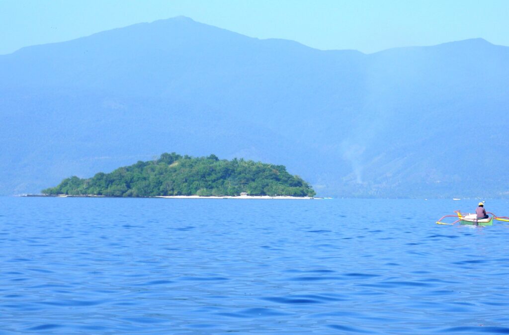
A World Bank report said that in a 4ºC world, sea level around East Asia and the Pacific region is likely to exceed 50 centimeters above present levels by 2060 and 100 centimeters by 2090, “with Manila being especially vulnerable.”
“Climate change is expected to lead to more intense typhoons, whose storm surges will be superimposed on higher sea levels,” notes Getting a Grip on Climate Change in the Philippines. “In the Philippines, storm surges are projected to affect about 14% of the total population and 42% of the coastal population.”