Text and Photos by Henrylito D. Tacio
Located just above the equator and facing the western Pacific, the Philippines has little else to absorb the energy of storms before they hit the land. Storms – a generic term used to describe a large variety of atmospheric disturbances – are fuelled by the warm, tropical waters.
The Philippines, a tropical country, sits in the world’s hottest ocean temperatures – frequently above 28°C, the minimum temperature for typhoon formation. It’s not surprising that our country is visited by an average of 20 typhoons every year, five of which are destructive.
The Philippine Atmospheric, Geophysical, and Astronomical Services Administration (PAGASA) said that more expected to enter the Philippine Area of Responsibility (PAR) before the year ends. “Two or three cyclones may possibly enter PAR in each month of July, August, September and November,” the state weather bureau said.
In October, two to four typhoons are expected, while one or two are expected in December. “These expectations are brought about by La Niña which will last until the end of the year,” PAGASA said.
La Niña – the opposite of El Niño – refers to the periodic cooling of ocean temperature in the central and east-central equatorial Pacific. In comparison, El Niño is characterized by unusually warm ocean temperatures in the equatorial Pacific.
Typhoons “draw their energy from deep below the ocean’s surface – up to depths of 2,000 meters,” wrote Daniel Levitt and Niko Kommenda in an article published in The Guardian. The temperature at these depths is measured by Ocean Heat Content, a metric that has soared since 1970, driven largely by four of the world’s major oceans.
“Warmer sea surface temperature could intensify tropical storm wind speeds, potentially delivering more damage if they make landfall,” the Center for Climate and Energy Solutions likewise points out.
Typhoons are a natural phenomenon. No one can escape from them.
“About 95% of the tropical cyclones affecting the Philippines originate in the Pacific Ocean while the rest come from the South China Sea,” said PAGASA, a line agency of the Department of Science and Technology (DOST).
In 2013, US news weekly Time considered the Philippines as “the most exposed country in the world to tropical storms.” The number of typhoons hitting the country is expected to increase due to the ongoing climate change.
According to PAGASA, typhoons usually occur from the month of June to November. Most, however, occur in the months of July and August, “though other months outside of this period are not entirely free from tropical cyclones.”
During the early part of the typhoon season, PAGASA claims, tropical cyclones pass the northern regions of the country. In the latter part (from October to December), the central and southern parts are more prone to the passage.
Based on a study conducted by PAGASA from 1948 to 1989, Northern Luzon experiences five cyclones every two years. Central and Southern Luzon encounter three cyclones in two years and five cyclones in three years, respectively. A cyclone passes Eastern Visayas every year.


Fortunately, Mindanao is rarely hit by typhoons. The country’s second-largest island is within six to nine degrees north of the equator, which is too close to generate the so-called “spin” in the atmosphere needed to produce cyclones.
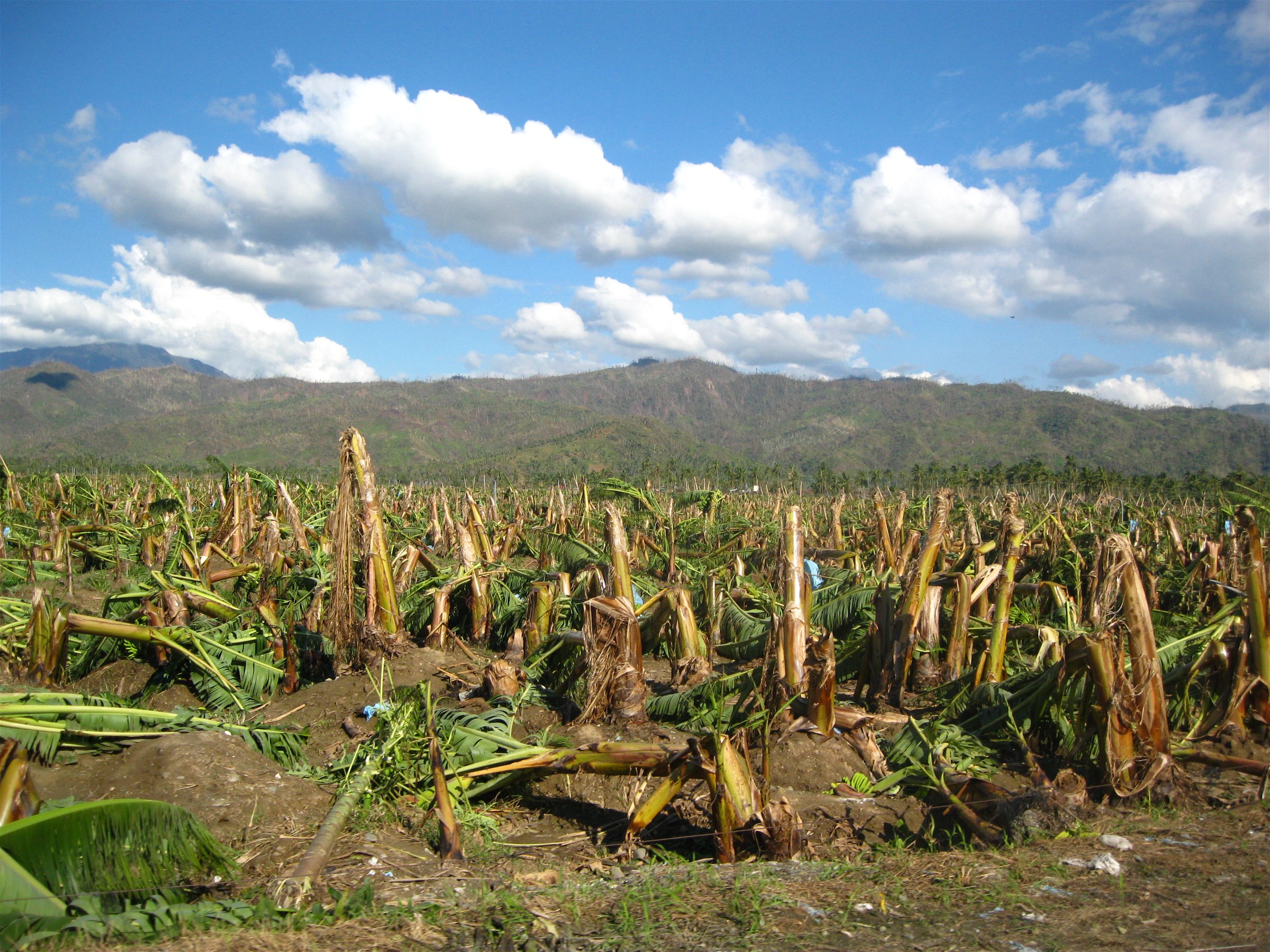
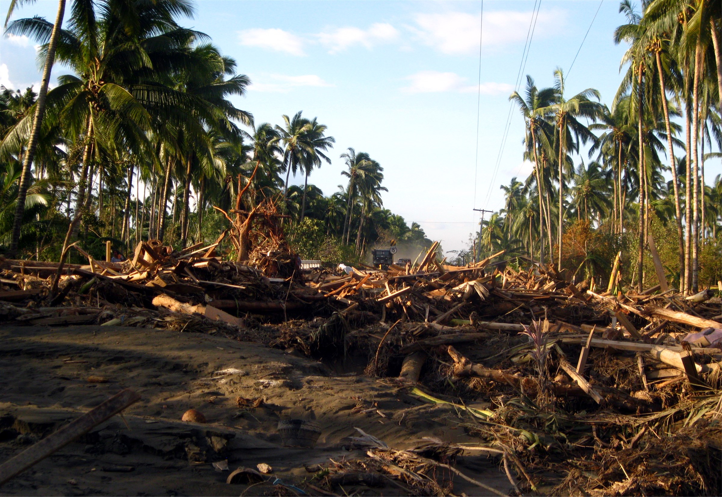
But in recent years, Mindanao was not spared from typhoons. Two of the most destructive typhoons that hit the southern part of the island happened in December. Pablo, which made a landfall on December 4, 2012, was considered “the strongest tropical cyclone on record to ever affect the southern island of Mindanao.”
Over 1,000 people were killed, most of those were from Davao Oriental and Davao de Oro. Rushing flood waters destroyed entire barangays, which made then-Interior Secretary Mar Roxas to comment: “Entire families may have been washed away.”
The other one is the most recent Odette, which hit the country on December 16. “As Rai pounded the Philippines, heavy rainfall, strong and gusty winds impacted several areas around the storm’s path,” Wikipedia reported.
Among Filipinos, typhoons are known as bagyo, a term that came into existence after a 1911 storm in Baguio, which had a record rainfall of 46 inches within a 24-hour period. Typhoons are categorized by the strength of their winds, although the wind itself often isn’t the deadliest part of the tempest.
In the past, Filipinos only heard of tropical cyclones. Depending on the intensity and strength of the winds that they bring, tropical cyclones are classified as tropical depression (30-60 kilometers per hour of sustained winds), tropical storm (61-120 kph), severe tropical storm (121-170 kph), and typhoon or hurricane (171-220 kph).
Some years back, the weather bureau added a fifth: super typhoon. “Typhoons as strong as super typhoons with more than 220 kilometers per hour of sustained winds in the country are becoming more frequent,” PAGASA Administrator Vicente Malano was quoted as saying.
Most super typhoons don’t landfall. They just enter the PAR and then exit without even touching the land.
“Typhoons lose intensity when they reach land because they are no longer travelling over warm water and hence have run out of ‘fuel,’” explains futurelearn.com. “As they lose their intensity, they can still do significant damage with strong winds and rain.”
Forewarned is forearmed, so goes a popular saying. Since we are living in a typhoon-prone country, we need to know what to do before the typhoon enters our area, during the storm, and after the typhoon leaves.

